-40%
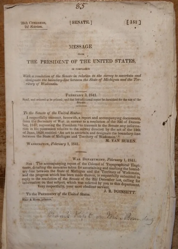
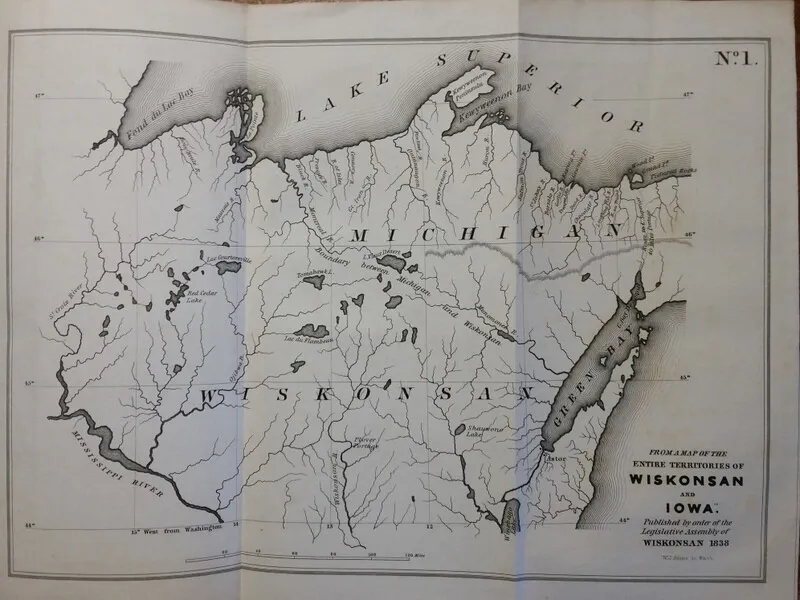
1841 Report to Mark Michigan-Wisconsin Border 26th Congress 2nd Session 5 Maps !
$ 155.76
- Description
- Size Guide
Description
This is a nice, original Report to Congress of the 1838 survey to mark the Michigan/Wisconsin Boundary. 26th Congress, 2nd Session. Wisconsin Territory. Government Printing office, Washington (1841).Document measures 5.5" x 9" and contains 26 pages.
Wonderful maps measure:
12.5" x 9"
9" x 9"
13" x 9"
9" x 9"
9" x 17"
Mildly foxed/discolored throughout. Text and illustrations sharp and legible.
Please review photos and Email me with any question. A great addition to any collection!
